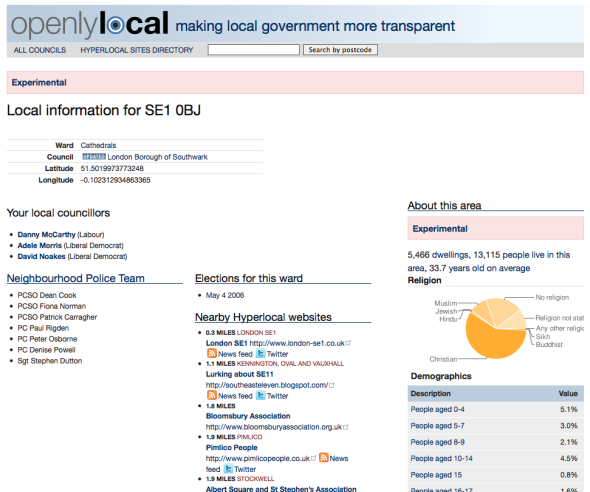
New feature: search for information by postcode
Posted: April 6, 2010 Filed under: api, hyperlocal, local government, open data, openlylocal, Uncategorized | Tags: api, Councils, data, hyperlocal, local, local government, opendata Leave a commentWhy was it important that the UK government open up the geographic infrastructure? Because it makes so many location-based things that were tortuous, almost trivial.
Previously, getting open data about your local councillors, given just a postcode, was a tortuous business, requiring multiple calls to different sites. Now, it is easy. Just go to http://openlylocal.com/areas/postcodes/%5Byourpostcodehere%5D and, bingo, you’re done.
You can also just put your postcode in the search box on any OpenlyLocal page to do the same thing. And, obviously, you can also download the data as XML or JSON, and with an open data licence that allows reuse by anybody, even commercial reuse.
There’s still a little bit of tweaking to be done. I need to match up postcodes county electoral divisions, and I’m planning on adding RDF to the data types returned. Finally, it’d be great to show the ward boundaries on a map, but I think that may take a little more work.
